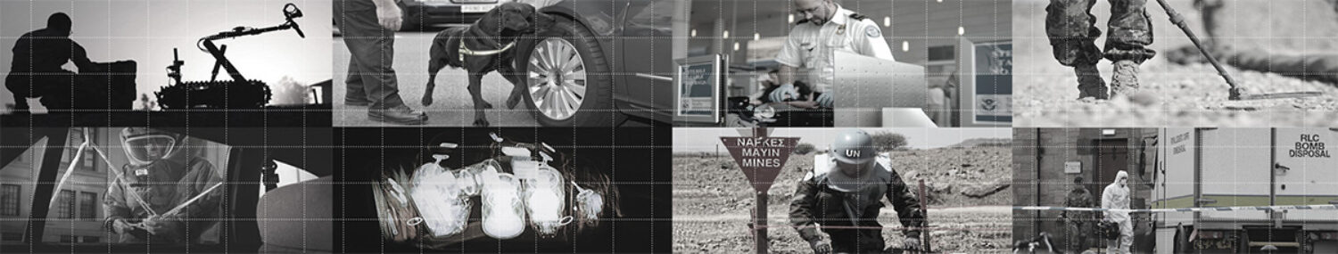
The Indian Army‘s Directorate of Combat Engineering is set to acquire GPS-based minefield recording equipment that’ll help avoid casualties during the detection and defusion of landmines.
Detection and disposing of mines has always been a risky affair for Army units operating along border areas.
“The new equipment will be compatible to conditions in the Indian sub-continent,” a senior army officer, who is aware of the development, told TOI on Tuesday. “The Directorate recently issued a Request for Information (RFI) for vendors,” the officer added.
The equipment will employ both GPS (global positioning) and GIS (geographical information). “The Army wants equipment that can record locations of mines being laid by the enemy — in varying terrain and weather. The objective is to reduce a soldier’s direct involvement in the detection and recovery of mines,” the officer said.
Engineers said several countries have been using GPS or GIS-enabled systems and added that the fresh lot of equipment needs to give out precise information. “The new system will give an edge to the engineering regiments but it must provide minute details of minefields, down to the centimetre. Only then, can it be considered a force multiplier,” an army engineer said.
Currently, the Army is clearing mines in the border districts of Jammu and Kashmir and combat engineers have been working hard to manually detect and defuse explosives. In fact, the Corps of Engineers played a crucial role in Operation Vijay during the 1999 Kargil conflict.
Source: The Times of India